దస్త్రం:India location map2.svg
Jump to navigation
Jump to search

ఈ ఫైలు SVG కు చెందిన ఈ మునుజూపు PNG పరిమాణం: 557 × 600 పిక్సెళ్ళు. ఇతర రిజల్యూషన్లు: 223 × 240 పిక్సెళ్ళు | 446 × 480 పిక్సెళ్ళు | 713 × 768 పిక్సెళ్ళు | 951 × 1,024 పిక్సెళ్ళు | 1,902 × 2,048 పిక్సెళ్ళు | 1,500 × 1,615 పిక్సెళ్ళు.
అసలు దస్త్రం (SVG ఫైలు, నామమాత్రంగా 1,500 × 1,615 పిక్సెళ్ళు, ఫైలు పరిమాణం: 1.69 MB)
This is a file from the Wikimedia Commons. Information from its description page there is shown below. Commons is a freely licensed media file repository. You can help. |

|
The boundaries on this map show the de facto situation. This is just one of several different views on the subject (see COM:NPOV). |
సారాంశం
| వివరణ |
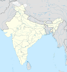
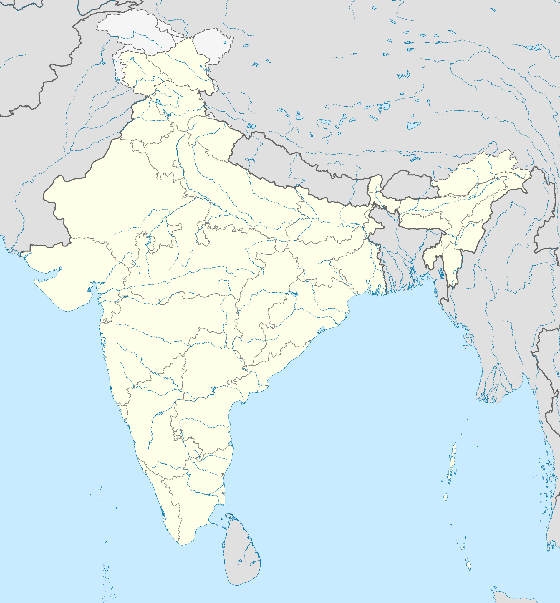
English: Location map of India. Equirectangular projection. Strechted by 106.0%. Geographic limits of the map: * N: 37.5° N * S: 5.0° N * W: 67.0° E * E: 99.0° E Made with Natural Earth. Free vector and raster map data @ naturalearthdata.com. |
| తేదీ | |
| మూలం | Own work based on: File:India location map.svg by Uwe Dedering at de:Wp |
| కర్త | AshwiniKalantri |
| ఇతర కూర్పులు |
[]
|
| SVG పెరుగుదల |


లైసెన్సింగ్
నేను, ఈ కృతి యొక్క కాపీహక్కుదారుని, దీన్ని ఇందుమూలముగా ఈ లైసెన్సుల క్రింద ప్రచురిస్తున్నాను:
ఈ దస్త్రం క్రియేటివ్ కామన్స్ Attribution-Share Alike 3.0 Unported లైసెన్సు క్రింద లభ్యం.
- ఇలా చేసేందుకు మీకు స్వేచ్ఛ ఉంది:
- పంచుకోడానికి – ఈ కృతిని కాపీ చేసుకోవచ్చు, పంపిణీ చేయవచ్చు, ప్రసారమూ చేయవచ్చు
- రీమిక్స్ చేయడానికి – కృతిని అనుకరించడానికి
- క్రింది షరతులకు లోబడి:
- ఆపాదింపు – సముచితమైన శ్రేయస్సును ఇవ్వాలి, లైసెన్సుకు లింకు ఇవ్వాలి, మార్పులేమైనా చేస్తే వాటిని సూచించాలి. అందుకు సముచితమైన పద్ధతి దేన్నైనా అవలంబించవచ్చు. కానీ మీకూ మీ వాడుకకూ హక్కుదారు అనుమతించారు అనే అర్థం వచ్చేటట్లుగా మాత్రం కాదు.
- share alike – మీరు ఈ కృతిని అనుకరిస్తే, మారిస్తే, లేదా మెరుగుపరిస్తే తత్ఫలిత కృతిని ఇదే లైసెన్సు లేదా దీనికి అనుగుణ్యమైన లైసెన్సు క్రింద మాత్రమే పంపిణీ చేయాలి.
ఈ దస్త్రం క్రియేటివ్ కామన్స్ ఆపాదింపు-యథాతథ పంచుకోలు 3.0 జర్మనీ లైసెన్సు క్రింద లభ్యం.
- ఇలా చేసేందుకు మీకు స్వేచ్ఛ ఉంది:
- పంచుకోడానికి – ఈ కృతిని కాపీ చేసుకోవచ్చు, పంపిణీ చేయవచ్చు, ప్రసారమూ చేయవచ్చు
- రీమిక్స్ చేయడానికి – కృతిని అనుకరించడానికి
- క్రింది షరతులకు లోబడి:
- ఆపాదింపు – సముచితమైన శ్రేయస్సును ఇవ్వాలి, లైసెన్సుకు లింకు ఇవ్వాలి, మార్పులేమైనా చేస్తే వాటిని సూచించాలి. అందుకు సముచితమైన పద్ధతి దేన్నైనా అవలంబించవచ్చు. కానీ మీకూ మీ వాడుకకూ హక్కుదారు అనుమతించారు అనే అర్థం వచ్చేటట్లుగా మాత్రం కాదు.
- share alike – మీరు ఈ కృతిని అనుకరిస్తే, మారిస్తే, లేదా మెరుగుపరిస్తే తత్ఫలిత కృతిని ఇదే లైసెన్సు లేదా దీనికి అనుగుణ్యమైన లైసెన్సు క్రింద మాత్రమే పంపిణీ చేయాలి.


|
ఈ కృతి యొక్క కర్తనైన నేను, ఇక నుండీ ఈ కృతిని కాపీ చేసుకోవడానికి, పంచి పెట్టడానికి మరియు/లేదా మార్పులు-చేర్పులు చేసుకోవడానికి GFDL, లైసెన్సు వెర్షను 1.2 లేదా దాని తరువాత స్వేచ్చా సాఫ్టువేరు ఫౌండేషను విడుదలచేసే ఏ GFDL లైసెన్సు ద్వారా నయినా అనుమతి ఇస్తున్నాను; ఈ కృతిలో మార్చకూడని బాగాలు లేవు, Front-Cover పాఠం లేదు, Back-Cover పాఠం లేదు. ఈ లైసెన్సు యొక్క పత్రం నకలును "జిఎన్యూ ఉచిత డాక్యుమెంటేషను లైసెన్సు" అని పిలుస్తున్న విభాగంలో ఉంది. |
పైవాటిలో మీకు నచ్చిన లైసెన్సునును ఎంచుకోవచ్చు.
అసలు ఎక్కింపుల చిట్టా
This image is a derivative work of the following images:
- File:India location map.svg licensed with Cc-by-sa-3.0, Cc-by-sa-3.0-de, GFDL
- 2011-01-18T16:10:27Z Uwe Dedering 1500x1615 (2478400 Bytes) Reverted to version as of 15:50, 17 January 2011 and again, layer structure destroyed, and first discuss this!
- 2011-01-17T19:04:20Z AshwiniKalantri 1500x1615 (1593649 Bytes) The disputed land of Kashmir are shown in a different shade.
- 2011-01-17T15:50:03Z Uwe Dedering 1500x1615 (2478400 Bytes) Reverted to version as of 11:34, 22 September 2010 vandalism
- 2011-01-16T23:30:30Z AshwiniKalantri 1500x1615 (2104259 Bytes) {{Information |Description=Location Map of India |Source= |Date= |Author= |Permission= |other_versions= }}
- 2010-09-22T11:34:41Z BishkekRocks 1500x1615 (2478400 Bytes) The area north of the Siachen Glacier is also part of Chinese-controlled Kashmir.
- 2010-08-31T16:36:47Z Uwe Dedering 1500x1615 (2412750 Bytes) Coloured Pakistani-controlled parts of Kashmir in dark grey & Chinese-controlled Kashmir also. no reason to treat them differently.
- 2010-08-31T11:26:31Z AnonyLog 1500x1615 (2104259 Bytes) A lighter shade is used for uniformity with other maps of India and Pakistan on Wikipedia.
- 2010-05-05T16:44:39Z Uwe Dedering 1500x1615 (2412750 Bytes) Reverted to version as of 12:26, 3 March 2010 make them dark-grey if you wish....
- 2010-05-05T15:43:19Z BishkekRocks 1500x1615 (2104259 Bytes) Coloured Pakistani-controlled parts of Kashmir in light grey (like Chinese-controlled Kashmir). Alternatively colour both in dark grey, no reason to treat them differently.
- 2010-03-03T12:26:13Z Uwe Dedering 1500x1615 (2412750 Bytes) {{Information |Description={{en|Location map of India. Equirectangular projection. Strechted by 106.0%. Geographic limits of the map: * N: 37.5° N * S: 5.0° N * W: 67.0° E * E: 99.0° E Made with Natural Earth. Free vector
Uploaded with derivativeFX
ఫైలు చరితం
తేదీ/సమయం ను నొక్కి ఆ సమయాన ఫైలు ఎలా ఉండేదో చూడవచ్చు.
| తేదీ/సమయం | నఖచిత్రం | కొలతలు | వాడుకరి | వ్యాఖ్య | |
|---|---|---|---|---|---|
| ప్రస్తుత | 13:48, 14 అక్టోబరు 2020 | | 1,500 × 1,615 (1.69 MB) | NordNordWest | upd Telangana/Andhra Pradesh |
| 10:58, 2 నవంబరు 2019 |  | 1,500 × 1,615 (1.65 MB) | NordNordWest | upd Jammu and Kashmir | |
| 08:59, 3 జూన్ 2014 |  | 1,500 × 1,615 (1.63 MB) | NordNordWest | + Telangana | |
| 12:58, 11 జూన్ 2012 |  | 1,500 × 1,615 (1.54 MB) | NordNordWest | adding waterbodies | |
| 20:30, 25 ఫిబ్రవరి 2011 |  | 1,500 × 1,615 (1.57 MB) | AshwiniKalantri | {{Information |Description={{en|Location map of India. Equirectangular projection. Strechted by 106.0%. Geographic limits of the map: * N: 37.5° N * S: 5.0° N * W: 67.0° E * E: 99.0° E Made with Natural Earth. Free vector and raster map data @ natural |
లింకులు
కింది పేజీలలో ఈ ఫైలుకు లింకులు ఉన్నాయి:
సార్వత్రిక ఫైలు వాడుక
ఈ దస్త్రాన్ని ఈ క్రింది ఇతర వికీలు ఉపయోగిస్తున్నాయి:
- als.wikipedia.org లో వాడుక
- as.wikipedia.org లో వాడుక
- az.wikipedia.org లో వాడుక
- bh.wikipedia.org లో వాడుక
- de.wikipedia.org లో వాడుక
- Indien
- Varanasi
- Bhopal
- Taj Mahal
- Rajgir
- Dharamsala
- Neu-Delhi
- Mumbai
- Kolkata
- Darjeeling (Stadt)
- Prayagraj
- Ahmedabad
- Chandigarh
- Amritsar
- Chennai
- Bengaluru
- Tharangambadi
- Qadian
- Hyderabad (Indien)
- Kozhikode
- Agartala
- Pune
- Agra
- Auroville
- Hampi
- Sarnath
- Jaipur
- Leh
- Katastrophe von Bhopal
- Mahe (Indien)
- Deoband
- Srinagar
- Vrindavan
- Velha Goa
- Patna
- Bodhgaya
- Madurai
ఈ దస్త్రపు మరింత సార్వత్రిక వాడుకను చూడండి.